CropGen - AI & Satellite-Based
Climate-Smart Farming Platform
Developed under Operation Dronagiri | Early Stage | Agriculture Sector

The Challenge We're Solving
Traditional farming faces critical challenges: inefficient resource utilization, excessive fertilizer use leading to environmental degradation, unpredictable weather patterns, and declining productivity. Farmers need data-driven insights to make informed decisions and optimize their agricultural practices.

Water Scarcity
Inefficient irrigation systems

Soil Degradation
Poor soil health monitoring

Fertilizer Overuse
Excessive chemical application

Weather Uncertainty
Unpredictable climate patterns
Problem Statement
Farmers in India face major challenges due to inefficient fertilizer use, poor visibility of crop health, delayed agronomy advisories, and lack of real-time decision support. These issues lead to soil degradation, higher input costs, and reduced yield.
- Inefficient fertilizer use
- Poor crop health visibility
- Delayed agronomy advisories
Our Solution
CropGen addresses these gaps by using AI, satellite data, and localized agronomy intelligence to deliver live, field-specific recommendations helping farmers make self-decisions on fertilizer, irrigation, and crop management.
 Sentinel-2 satellite integration
 AI-powered recommendations
 Real-time monitoring

Solution Overview
Comprehensive AI-based crop monitoring system with satellite intelligence.
CropGen is an AI-based Crop Monitoring and Advisory System (AAS System) that provides real-time, LLM-powered crop advisories using 18+ field parameters including soil health, moisture, weather, vegetation indices, and nutrient balance.
It analyzes 12+ satellite indices (NDVI, EVI, NDWI, MSAVI, SAVI, etc.) and offers BBCH-scale nutrient management for precise NPK recommendations.
Geospatial Datasets (GDI): Sentinel satellite imagery, weather satellite data (NASA POWER & ERA5), SoilGrids, and local field validation data.
Automatic Agronomy System
18+ ground data points to deliver real-time crop advisories on pests, diseases, irrigation, and fertigation helping farmers make smart, data-driven decisions for better yield and sustainability.
Satellite Indices
Advanced spectral analysis for crop health assessment
NPK Advisory
Precise nutrient recommendations based on growth stages

Satellite Data
AI Processing

AI Processing

Farmer Insights

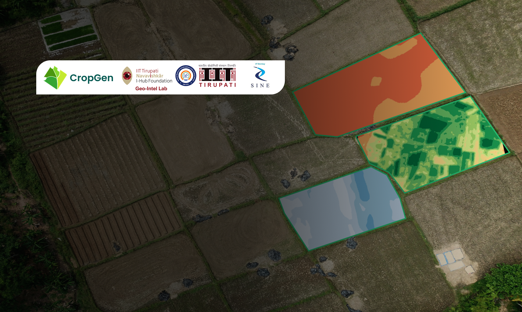
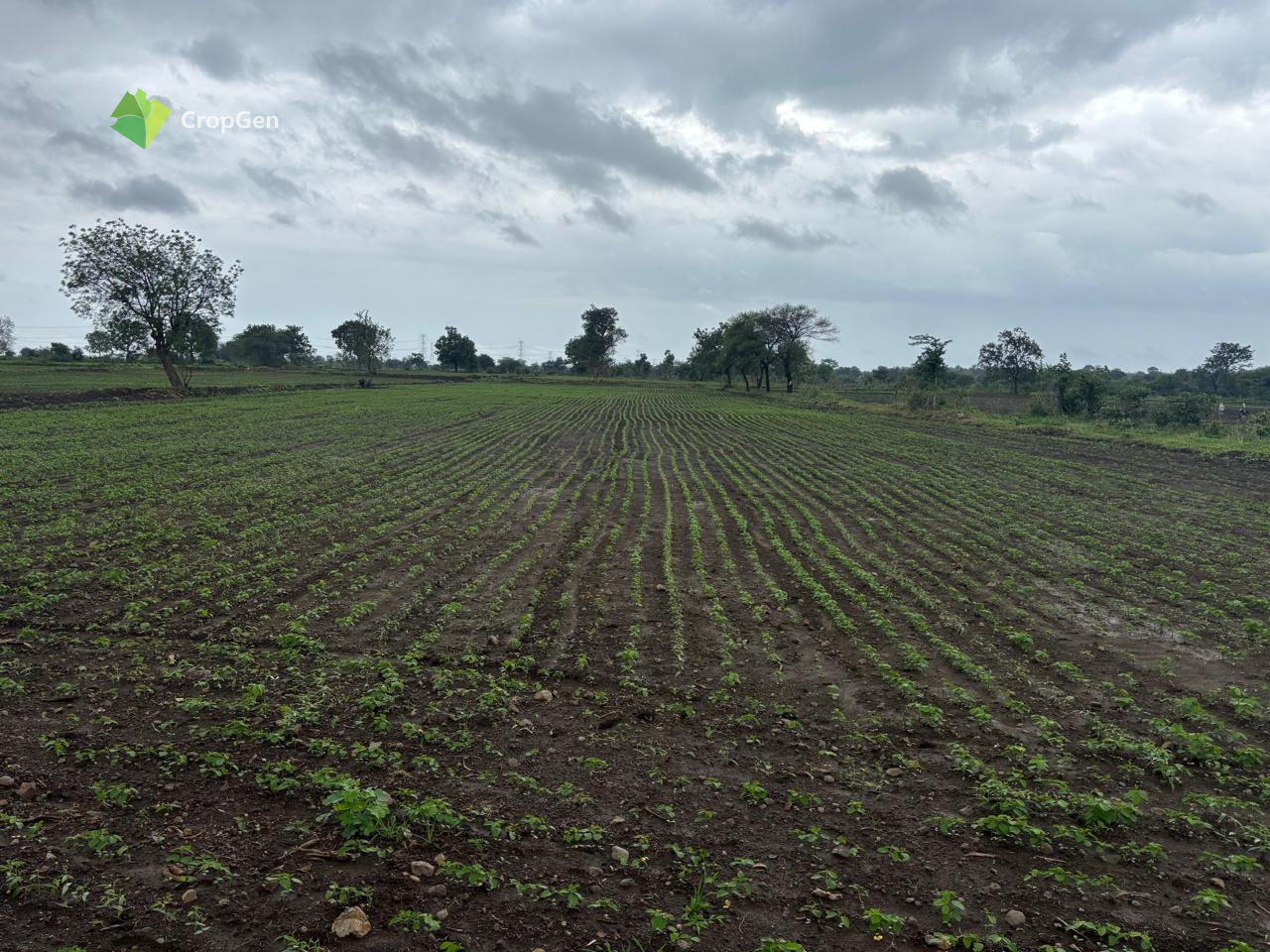
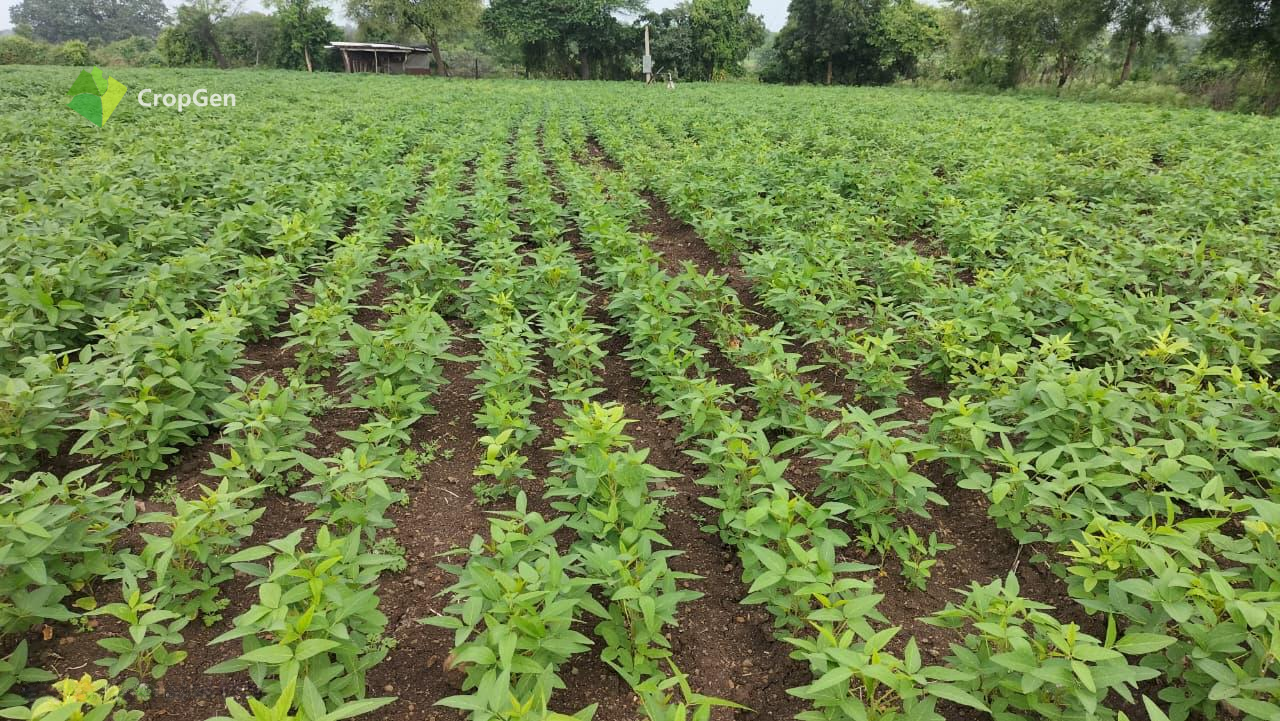
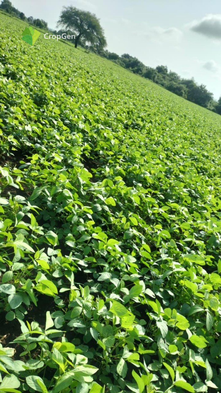
Pilot at Washim, Maharashtra
Our pilot implementation at IIT Tirupati Accelerator validates CropGen's effectiveness across 5 different crops using comprehensive datasets from Sentinel, NASA POWER, ERA5, and SoilGrids.

Field Validation Visit
Farmers + CropGen Team

NDVI Map
Washim Pilot Fields

True Color Satellite View
Washim

CropGen Dashboard
AI Advisory Output
Acres Under Pilot
Farmers Onboarded
Advisory Accuracy

Key Metrics
Fertilizer Savings
Yield Increase
NDVI Improvement
Satellite Indices
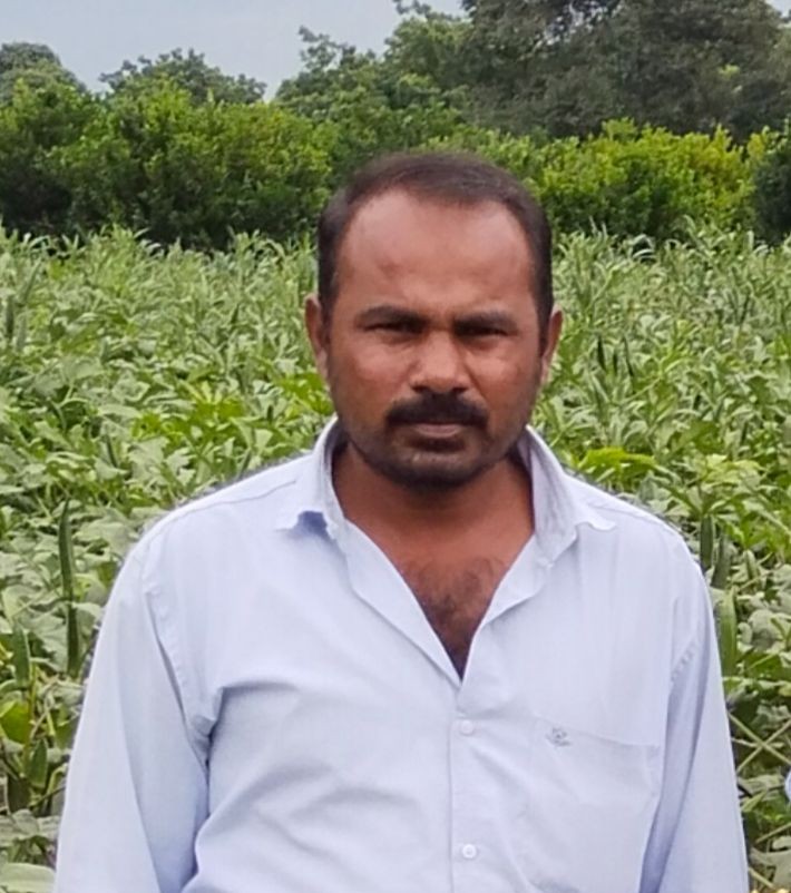
I'am using the CropGen mobile application, which provides me with helpful advisories on what fertilizers and pesticides to apply to my soybean and turmeric farms. It also gives me images showing where my crops are under stress. Right now, I am making my crop decisions by myself, but the information and insights from CropGen are helping me make better and more informed decisions.
- Ramesh Patil, Soybean Farmer, Washim
Partnerships & Collaborations

Local FPOs

IIT Tirupati

Washim Farmers

Selected For, AI for Climate Accelerator Program

Rouge International Thailand, MoU Signed

Participated In, Eureka ASIA program

Service Partner, CropyDeals

Participated in, Startup Conclave 2025 Gandhinagar
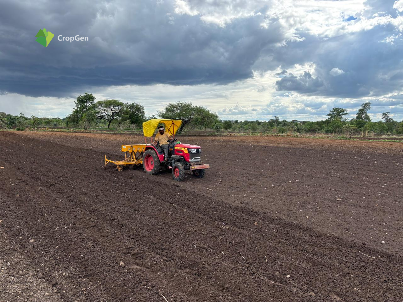
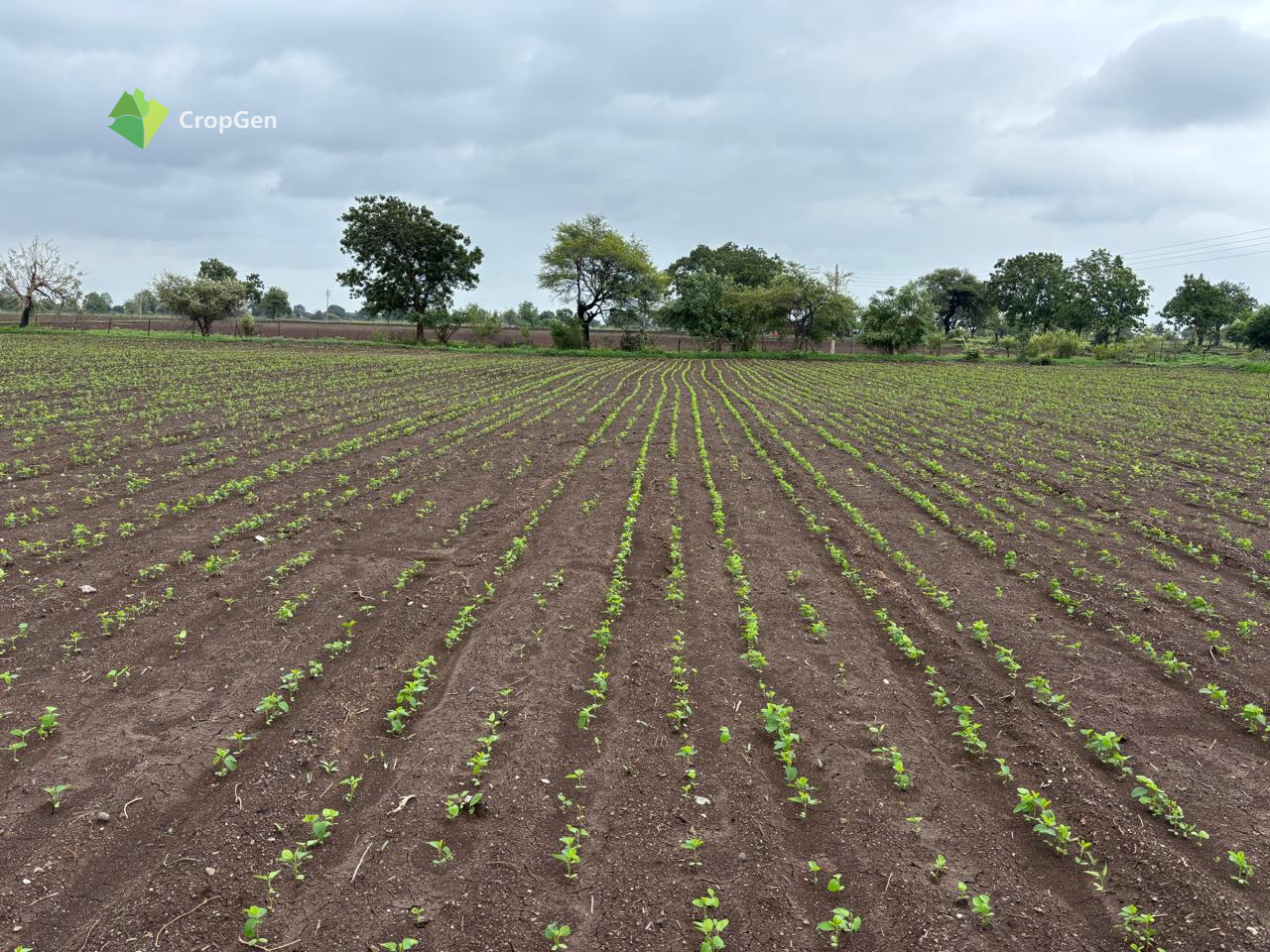
Field Implementation Gallery


Meet the Team
Mahesh Gote
Founder

What's Next?
CropGen is scaling to reach 10,000+ acres with ICAR validation and comprehensive carbon tracking capabilities to drive sustainable agriculture transformation.

Scale to 10,000+ Acres
Expanding coverage across multiple states

ICAR Validation
Official validation from agricultural research council
Carbon Tracking
Comprehensive environmental impact monitoring
Supporting UN Sustainable Development Goals
Zero Hunger
Responsible Consumption
Climate Action
CropGen promotes sustainable agriculture through data-driven insights that optimize resource use and reduce environmental impact.
Be Part of Our Journey
Join us in revolutionizing agriculture through AI and satellite technology